Digital data
Type of resources
Topics
Keywords
Contact for the resource
Provided by
Years
Formats
Update frequencies
-
The BGS 3D scans store holds digital 3-dimensional scans of BGS palaeontological and petrological specimens. The data include 3-dimensional meshes and 2-dimensional images exported by the scanning hardware and software. Data are stored in software-independent 3D modelling formats such as .OBJ and .PLY. These scans are useful for research purposes, for example allowing members of the broader geoscience community to interactively view a particular specimen, and for publicising BGS specimen holdings.
-
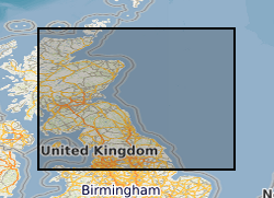
GIS versions of a regional structural summary and palaeogeographic reconstructions describing the Palaeozoic geology of parts of the UK offshore and onshore, plus a set of summary posters and a summary presentation capturing the conventional petroleum systems. Devonian and Carboniferous rocks are the focus in and around the Mid North Sea High, Central North Sea, the Moray Firth and Orcadian Basin. In the greater Irish Sea area, Carboniferous rocks are described. The peer-reviewed products were produced for the 21CXRM Palaeozoic Project by BGS for DECC/OGA, Oil and Gas UK and oil company sponsors between November 2014 and May 2016, to improve regional digital datasets and knowledge of the underexplored Palaeozoic petroleum systems, and to stimulate exploration. The petroleum systems analysis was based on new interpretations of extensive well, seismic, gravity-magnetic and source rock datasets, integrated with petrophysical studies, basin modelling and UK onshore knowledge. Released data were collated and interpreted, and interpretations of unreleased data were included with agreement of the data owners. Unreleased raw data is excluded, as is the UK Government Seismic data released in 2016. The GIS layers were digitised from figures prepared for project reports and are applicable for use at scales between 1:1,000,000 and 1:3,000,000.
-
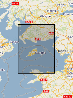
Reports, images, GIS and gridded products describing the Palaeozoic geology and conventional petroleum systems of parts of the UK offshore from the greater Irish Sea area. Carboniferous rocks were the focus in areas from the Firth of Clyde, Solway Basin, Manx-Peel Basin to the East Irish Sea Basin and surrounding areas (Quadrants 110-126). The peer-reviewed products were produced for the 21CXRM Palaeozoic Project by BGS for DECC/OGA, Oil and Gas UK and oil company sponsors between November 2014 and May 2016, to improve regional digital datasets and knowledge of the underexplored Palaeozoic petroleum systems, and to stimulate exploration. The petroleum systems analysis was based on new interpretations of well, seismic, gravity-magnetic and source rock datasets, integrated with petrophysical studies, basin modelling and UK onshore knowledge. Released data were collated and interpreted, and interpretations of unreleased data were included with agreement of the data owners. Unreleased raw data is excluded. The datasets are applicable for use at scales between 1: 750,000 to 1: 3,000,000.
-
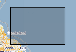
Reports, images, GIS and gridded products describing the Palaeozoic geology and conventional petroleum in and around the Mid North Sea High (Quadrants 25-44). Covering a large area of the Central North Sea from the Forth Approaches to the northern side of the Southern North Sea, the focus is on Devonian and Carboniferous rocks. The peer-reviewed products were produced for the 21CXRM Palaeozoic Project by BGS for DECC/OGA, Oil and Gas UK and oil company sponsors between November 2014 and May 2016, to improve regional digital datasets and knowledge of the underexplored Palaeozoic petroleum systems, and to stimulate exploration. The petroleum systems analysis was based on new interpretations of extensive well, seismic, gravity-magnetic and source rock datasets, integrated with petrophysical studies, basin modelling and UK onshore knowledge. Released data were collated and interpreted, and interpretations of unreleased data were included with agreement of the data owners. Unreleased raw data is excluded, as is the UK Government Seismic data released in 2016. The datasets are applicable for use at scales between 1:750,000 to 1: 3,000,000.
-
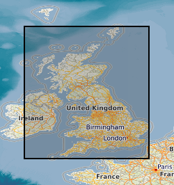
Data from onshore wells provided to BGS as part of an agreement with NSTA/OGA/DECC Digital data (includes, well logs, well reports and downhole data) for oil and gas exploration and appraisal wells drilled in the UK and held on behalf of the North Sea Transitory Authority (formerly the Oil & Gas Authority, formerly the Department of Energy and Climate Change). External data therefore BGS has no control on quality. Provided to OGA/DECC/BGS by oil companies as part of their obligations under licensing regulations, PON 9b regulations notice.
-
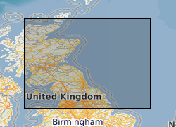
Reports, images, GIS and gridded products describing the Palaeozoic geology and conventional petroleum systems of parts of the UK offshore. Devonian and Carboniferous rocks are the focus in and around the Mid North Sea High, Central North Sea, the Moray Firth and Orcadian Basin. In the greater Irish Sea area, Carboniferous rocks are described. The peer-reviewed products were produced for the 21CXRM Palaeozoic Project by BGS for DECC/OGA, Oil and Gas UK and oil company sponsors between November 2014 and May 2016, to improve regional digital datasets and knowledge of the underexplored Palaeozoic petroleum systems, and to stimulate exploration. The petroleum systems analysis was based on new interpretations of extensive well, seismic, gravity-magnetic and source rock datasets, integrated with petrophysical studies, basin modelling and UK onshore knowledge. Released data were collated and interpreted, and interpretations of unreleased data were included with agreement of the data owners. Unreleased raw data is excluded, as is the UK Government Seismic data released in 2016. The datasets are applicable for use at scales between 1: 750,000 to 1: 3,000,000.
-
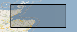
Reports, images, GIS and gridded products describing the Palaeozoic geology and conventional petroleum systems of parts of the UK offshore from the Orcadian Basin, Moray Firth to northern Forth Approaches (Quadrants 6-21). Devonian and Carboniferous rocks are the focus. The peer-reviewed products were produced for the 21CXRM Palaeozoic Project by BGS for DECC/OGA, Oil and Gas UK and oil company sponsors between November 2014 and May 2016, to improve regional digital datasets and knowledge of the underexplored Palaeozoic petroleum systems, and to stimulate exploration. The petroleum systems analysis was based on new interpretations of extensive well, seismic, gravity-magnetic and source rock datasets, integrated with petrophysical studies, basin modelling and UK onshore knowledge. Released data were collated and interpreted, and interpretations of unreleased data were included with agreement of the data owners. Unreleased raw data is excluded, as is the UK Government Seismic data released in 2016. The datasets are applicable for use at scales between 1:750,000 to 1: 3,000,000
 NERC Data Catalogue Service